More and more people are fighting for the environment and our wildlife, and satellites are playing their part.
And though wildlife ecologists have been accustomed to doing their work mainly on the ground, high-resolution Quickbird satellite imagery can provide them – as well as scientists and researchers – with a global picture for the first time.
Satellites and animal migration
According to East Coast Ecology, wildlife migrations, habit mapping, and tracking endangered species can all be recorded using satellite imagery. Tagged animals can be followed even into remote areas, with data providing much-needed movement patterns, species behaviors, and location information for scientists.
Animal populations can be recorded, keeping track of mothers and babies as well as the numbers in herds and flocks.
Animals can be tracked with a high level of accuracy even to remote polar regions which otherwise are difficult to access.
Satellites and wildlife protection
Locations and movements of threats to wildlife such as poachers can also be tracked. In Peru in 2015, a supposedly protected part of the Amazon rainforest was being mined illegally. Thanks to satellite images, the Peruvian government was able to act quickly even though the site was deep in the forest.
And because satellite images cover vast areas of the globe at the same time, researchers and scientists can get a clearer picture of why and where species are being lost. This information provides insight into which areas are priorities for environmental protection.
Because animal numbers can be easily counted, environmentalists can have the information they need to opt for various animal management strategies. Deciding whether animals are to be protected, culled, or darted with contraceptives is easier to do with the correct data to hand.
Satellites and habitat conservation
Because satellites are operating constantly and with higher and higher image resolution, researchers are informed very quickly of any deforestation, illegal mining, or other activities that threaten wildlife habitats.
The NASA satellites as part of the Landsat program have been taking pictures of the Amazon rainforest every two weeks, for 47 years in a row. These pictures have given scientists a very precise understanding of the deforestation problem and how to deal with it.
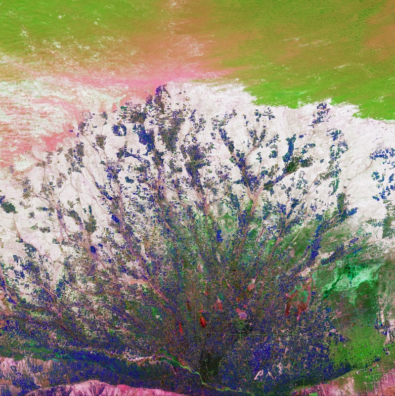
Satellite imagery can also help predict the regrowth of forests as well as detailed measurement of glaciers, lakes, and rivers. Water sources can be accurately measured, and therefore more easily managed.
Scientists can also study how animals are exploiting their habitats by looking at patterns of growth.
Satellites and natural disasters
Satellites even help predict natural disasters, enabling vulnerable wildlife populations to be protected where feasible.
One example is the wildfire of 2018 that hit California. Thanks to satellite imagery, scientists could see where the fire was heading. The images also provided a large amount of information as to how the fire started and how to prevent similar fires in the future.
Technology such as QuickBird satellite imagery is becoming more and more accurate. We can now, in real time, get fairly clear images of pretty much anywhere on earth.
And it’s good to know how some forms of technology such as satellites can help our planet.